The Port Moresby Geophysical Observatory has reported that a 6.7 magnitude earthquake struck near southern New Ireland Province early this morning.
The earthquake, which has a depth of 53km, occurred as a result of interaction between the Pacific and South Bismarck Plates.
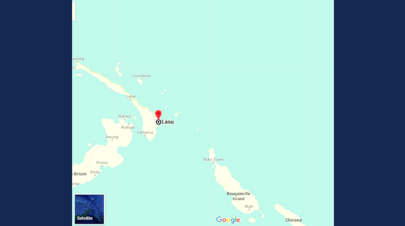
Location: 4.4 degrees S, 153.2 degrees E
Place: About 25km SE of Lasu
Furthermore, an official from the Rabaul Volcanological Observatory (RVO) advised Loop PNG that PMGO’s report is more accurate as their recording station is closer to the epicenter than other foreign observatories, especially in terms of triangulation.
Meantime, a resident on Lihir Island, New Ireland Province, told Loop PNG: “It was a pretty strong earthquake that lasted for less than 2 minutes. No major damages to report yet.”
Similar reports have been received from East New Britain Province as well.