Japan is leading the way in providing services to protect people and their property from disasters with a very effective monitoring system.
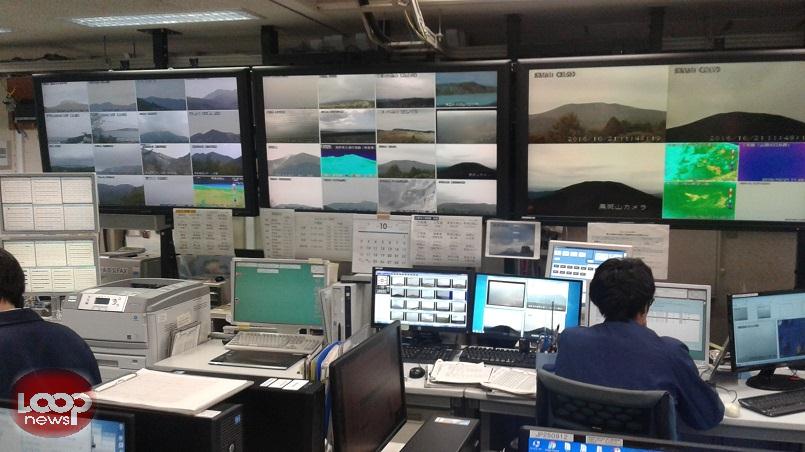
The Japan Meteorological Agency (JMA) monitors and predicts natural events like typhoons, earthquakes, volcanoes and climate change.
JMA, with 5,200 staff nationwide, also provides information for securing air traffic safety, development and prosperity of industry and international cooperation.
Pacific Island countries, including Papua New Guinea, can learn from Japan when preparing for disasters by also adapting an effective monitoring system.
Despite the disadvantage of not having advanced technology, PNG should start investing in this vital area.
JMA disaster mitigation research officer Ryusuke Mine highlighted to Pacific and Caribbean journalists who visited the agency this week, that it is important to provide accurate and real time information as natural hazards happen anytime.
The visit was organised by the Association for Promotion of International Cooperation and the Foreign Press Center Japan. This is for participants in the 2016 Pacific-Caribbean Journalists Program.
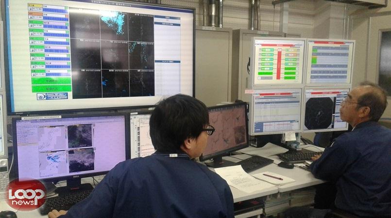
JMA collects real time data from around 1,600 seismometers and around 4,400 seismic intensity meters deployed throughout Japan to support the around the clock monitoring of earthquakes.
Chief technical officer of the Office of Observation System Operation, Shinji Watanabe, explained that seismic intensity information is issued within 90 seconds of the earthquake, specifying the time of earthquake occurrence.
He stressed that when a tsunami warning is issued, they also release information with details such as estimated arrival times, heights and recorded tsunami data.
The agency gives out volcanic warnings for 110 active volcanoes in Japan when unusual phenomena are observed, and sets alert levels for 32 active volcanoes.
It issues volcanic alert levels, eruption notice and ash fall forecast, and provides details of the expected timing, location and amount of ash fall.
JMA provides daily forecasts, one week forecasts, early warning information on extreme weather and seasonal forecasts, which is shared to the aviation and maritime authorities.
Forecasting officer at the Office of Forecast Division, Takayuki Tao, said the staff work hard to maintain the quality of the data as this is very important in disaster preparedness.
Tao confirmed that JMA’s new geostationary meteorological satellite, Himawari-9, will be launched on November 1 and will work together with the existing Himawari-8 to provide necessary information for the next 50 years.
Both satellites cover most of the Northwest and Southwest Pacific.
PNG is currently using information provided by Himawari-8 satellite.